
The community of Te Atatū was previously rich in kai and extremely connected. Until the 1950s, Te Atatū North was largely rural. The construction of the northwestern motorway has contributed to the growth of the suburb. The area had very few retail shops, and still, food was plentiful. Farms and orchards were here. The awa was safe for swimming and kai gathering, and the streets were safe too. There were strong community connections where everyone knew each other
and looked out for one another. Everyone was whānau; links were brought from around the motu to this suburban setting.
Several of our community activation attendees shared reflections about growing up in Te Atatū in the 60s, 70s and 80s. It was clear that Māori brought with them their ways of living and caring for each other.
“Only a few retail shops were around in our childhood, but food was plentiful. We had one school, and the dairy took lunch orders. Fruit trees were everywhere, and we bottled and preserved the harvest.” Linda
“Our whānau moved here in 1961 from the far north. Orchards and farms existed here then, and most families had their own productive gardens. Home-grown veggies were topped up with the kai moana and fishing on the doorstep.” Whaea Melba
“Growing up here, my dad could fix anything and our front lawn often had cars parked on it.
One would disappear and a big bag of crayfish tails or frybread would turn up on the doorstep” Matua Dalton
“The area had very few shops, and yet, food was plentiful. The awa was safe for swimming and kai gathering, and the streets were safe too. There were strong community connections – everyone knew each other and looked out for one another. We heard about tamariki walking to the library for Kapa Haka practice and filling their puku along the way from the plentiful fruit trees. Te Atatū also had a non-monetary exchange of goods and services.
“We could swim in the waterways.
We could walk, ride our bikes, play hide and seek at night; kids were safe. We would all walk to Kapa Haka, picking up kids all along the way to the community centre, and we knew where all the fruit trees were, and we’d pick our kai on the way. If you needed anything, the community looked after each other. What we had was special…”Whaea Jacqui
Te Atatū Past Key Themes
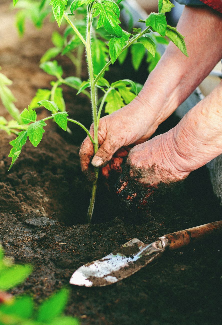
ABUNDANT HOMEGROWN FOOD
Fruit trees and vegetable gardens were common and thrived, with an abundance of apples, stone fruits, loquats, oranges, and grapefruit. Surplus was shared among neighbours. People hung bags of surplus fruit and veggies on neighbours’ doors or fences. Swapping kai was common— fish, homemade food (fried bread) and homegrown fruit and vegetables.
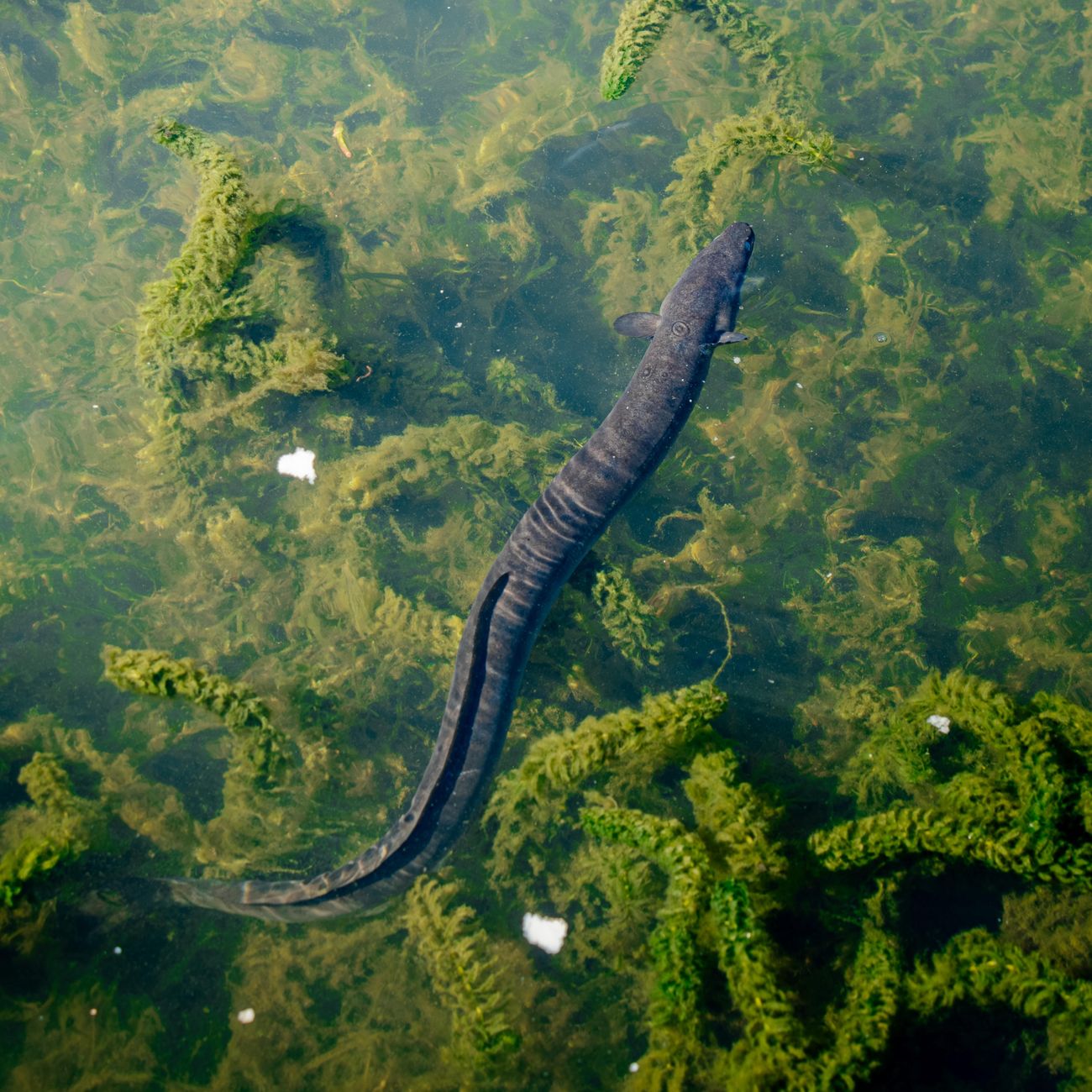
HISTORICALLY RICH IN KAI
There were plenty of natural food sources, including fishing, swimming, and gathering tuna(eel) as part of everyday life. Kōrero shared suggested the area would have been a fertile hunting, gathering and growing space for pre-European Māori.
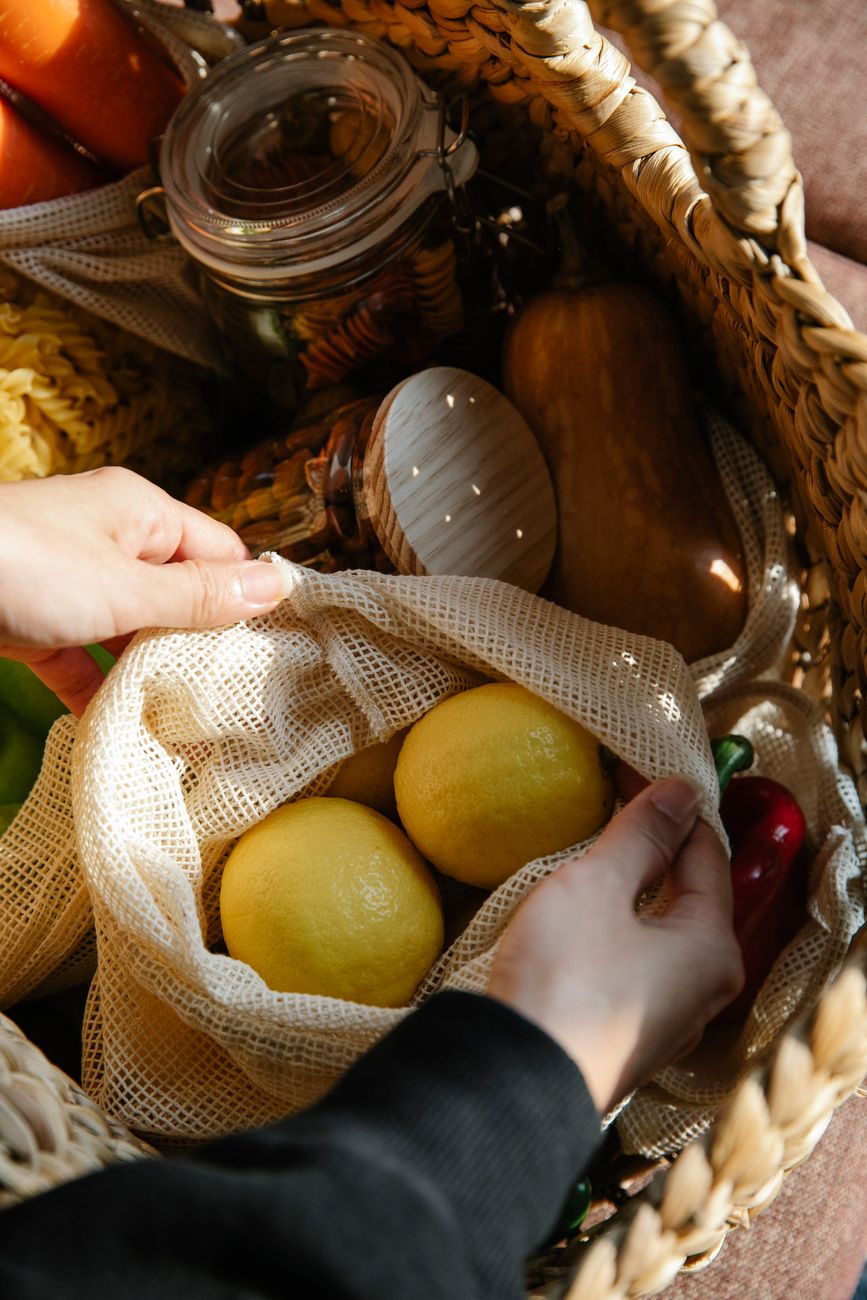
ACCESS TO KĀI
Only a few shops existed: a dairy, 4Square, and chicken farms (Moor Ave). Don Caster Dairy took lunch orders for the one school that existed back then. The local 4Square store made food accessible with deliveries by bicycle.
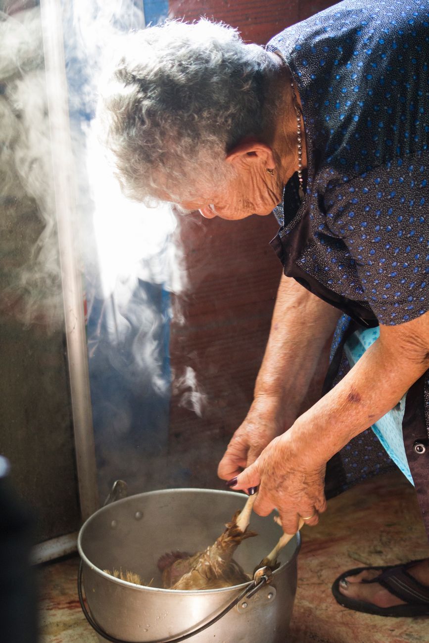
MĀORI BROUGHT WITH THEM TO TĀMAKI THEIR WAYS OF LIVING AND BEING
We heard about strong community connections and non-monetary exchange systems; everyone has something to contribute, and taking money out of the equation levels the playing field.
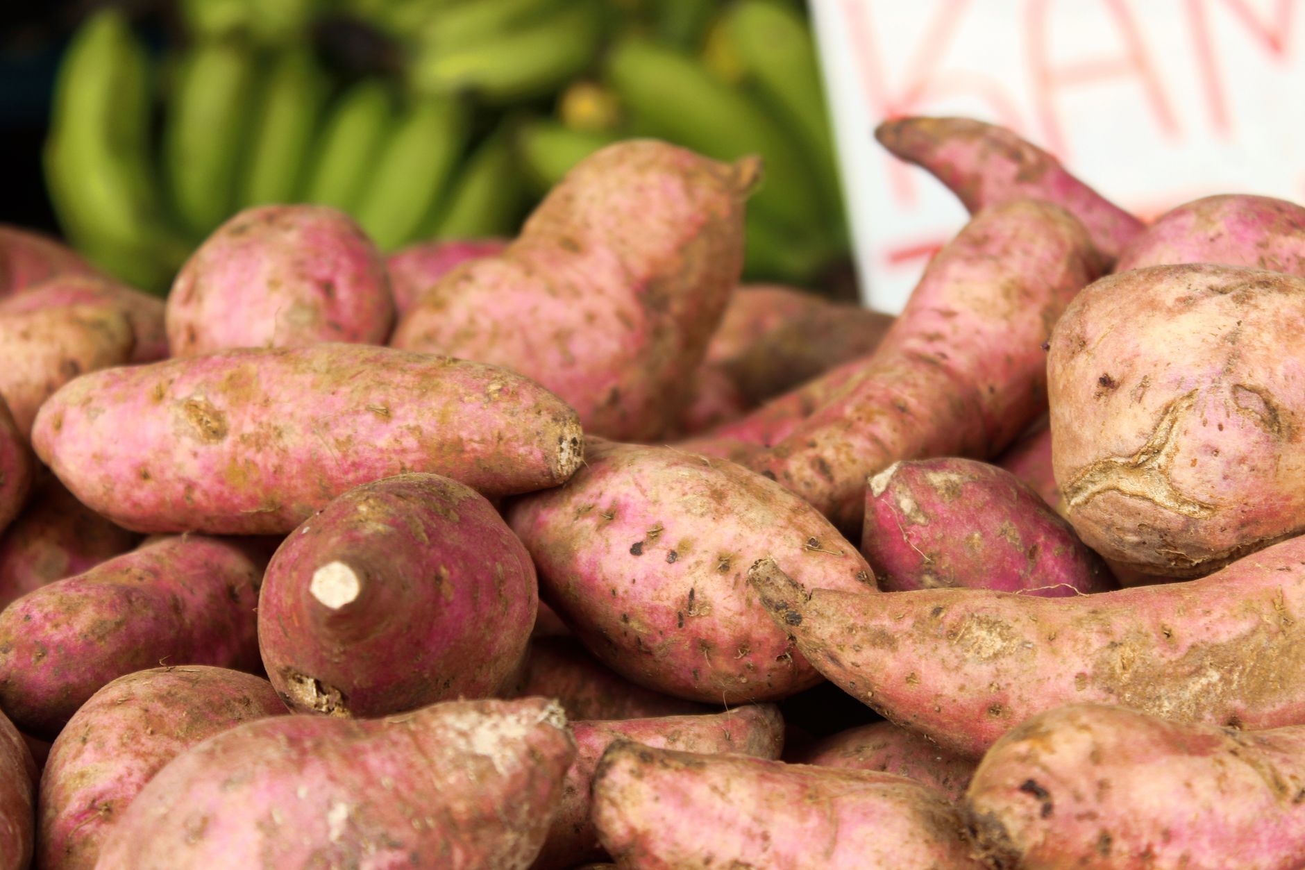
TRADITIONAL FOOD PRACTICES
Families bottled and preserved fruit and vegetables, and used soil-enriching methods (e.g., collecting horse manure from nearby paddocks for their gardens).
A bit of history
The peninsula is in the traditional rohe of Te Kawerau ā Maki, and has traditional significance to Ngāti Whātua Ōrākei. During pre-European times, there were two Te Kawerau ā Maki kāinga at the mouth of Te Wai-o-Pareira/Henderson Creek on the peninsula, known as Ōrukuwai and Ōrangihina, named after ancestors Rukuwai and Rangihina.
Thomas Henderson, a Scottish immigrant who purchased land from Ngati Whatua in 1844, established a timber mill on the banks of Te Wai-o-Pareira/Henderson Creek circa 1847 (at the modern suburb of Henderson) to process kauri logs. Te Atatū Peninsula was known as Henderson Point during this period.
In the 1880s, Te Atatū Peninsula was cleared of vegetation and developed into farmland. The north-western side of the peninsula was a site where Māori farmers grew potatoes, kūmara (sweet potatoes), and dug for kauri gum during the 19th century. The rua (storage pits) made by the farmers for potatoes gave rise to the name “The Pits”, a colloquial name given to the peninsula by European settlers.
In the early 1900s, the area was renamed Te Atatū (the dawn) by Reverend Thomas Jackson Bennett, referencing the morning sunrise views of the Waitematā Harbour seen from the peninsula.
In the late 19th and early 20th centuries, Te Atatū was the location of two brick and pottery yards adjacent to Te Wai-o-Pareira/Henderson Creek and one on the Whau River.
After the closure of the brickworks, the peninsula was primarily used as farmland, producing dairy, pigs, poultry and fruit from small orchards for the city of Auckland.
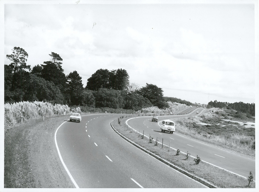
Northwestern Motorway. (Going north towards Te Atatū)
Photographer Mr. Riethmaier
Material from Archives New Zealand Te Rua Mahara o te Kāwanatanga
During the 1940s, the Auckland Harbour Board proposed that a new port be constructed in the central Waitematā Harbour to relieve pressure from the Port of Auckland.
(source: Wikipedia)
Until the 1950s, when the Northwestern Motorway from Waterview was completed, Te Atatū remained largely rural.
The NZ Government encouraged Māori to move to cities for housing and work in the 1950s and 60s under its urban
relocation policy. Te Atatū was one of the three areas in Auckland where housing and employment were offered.


You must be logged in to post a comment.